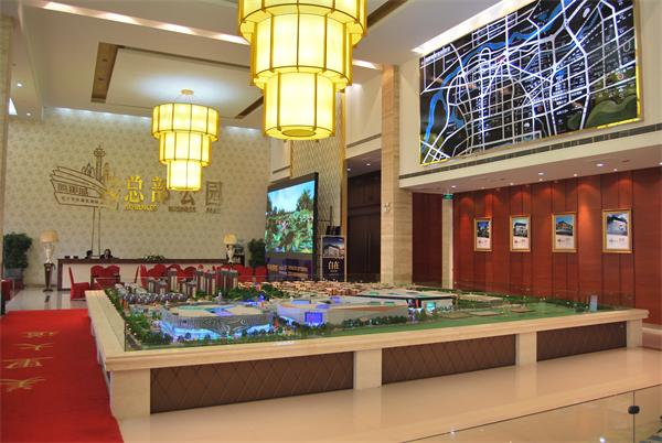
The disc was mainly used in war. Now we often see commanders standing in front of terrain models to study battle plans in military movies. So do you know how the sand table is made? Today I want to share with you how to make a sand table model.
1.摆好沙盘
1. Set the sand table
首先将沙盘安 全放置,尽量使沙盘的方位与当地一致,然后铺上3-5厘米厚、湿度适宜的沙子,用木板刮去,在沙盘周围标出与地形图相对应的网格,并记下相应的数字。
First, place the sand table safely, try to make the orientation of the sand table consistent with the local, then lay 3-5cm thick sand with appropriate humidity, scrape it off with a wooden board, mark the grid corresponding to the topographic map around the sand table, and write down the corresponding numbers.

2.堆积地貌
2. Accumulation landform
(1)根据网格,在地形图上画出选定的小等高线,可以控制地形基本形状的等高线,如山顶、马鞍、山脚、倾斜过渡点、河流等沙盘上的位置。
(1) According to the grid, draw the selected small contour on the topographic map, which can control the contour of the basic shape of the terrain, such as the position on the sand table such as the top of the mountain, saddle, foot of the mountain, inclined transition point, river, etc.
(2)起伏明显的计算点,如山顶、马鞍部分、山脚、倾斜过渡点、河湾等。都是用竹签插的,竹签的高度是沙盘上的点的高度加上底层沙子的厚度。
(2) Calculation points with obvious fluctuation, such as the top of the mountain, saddle part, foot of the mountain, inclined transition point, bend, etc. They are all inserted with bamboo sticks. The height of the bamboo sticks is the height of the points on the sand table plus the thickness of the bottom sand.
(3)从min到高线范围内,以竹签和等高线为基础,将山顶、马鞍和山背的粗糙形状堆砌成树干,然后修剪其他部分。如果沙盘比较大,可以分块堆放,先堆放在困难的地方,再堆放在方便的地方。堆放时,应随时对比地形图,正确显示地形起伏,砂层应随时压实,
(3) From min to the high line range, based on bamboo sticks and contour lines, stack the rough shapes of the top of the mountain, saddle and back of the mountain into trunk, and then trim other parts. If the sand table is relatively large, it can be stacked in blocks, first in a difficult place, and then in a convenient place. During stacking, the topographic map shall be compared at any time to correctly display the topographic relief, and the sand layer shall be compacted at any time,
避免坍塌变形。如果有的话。
Avoid collapse and deformation. If so.
3.设置地面物体
3. Setting ground objects
沙盘上的地物,如房屋、铁路、桥梁、树木、独立地物等,往往用相似的模型来表示,而道路、村庄则用不同宽度和颜色的纸(布条)来表示;河流以蓝纸条或木屑为代表;树是用小枝或绿木屑来代表的。特征的大小应与水平比例尺相适应,并且关系位置应正确。特
Features on the sand table, such as houses, railways, bridges, trees, independent features, etc., are often represented by similar models, while roads and villages are represented by paper (cloth strips) of different widths and colors; Rivers are represented by blue paper or sawdust; Trees are represented by twigs or green sawdust. The size of the feature shall be appropriate to the horizontal scale, and the relationship position shall be correct. special
征应按水系、居住区、道路、森林和独立特征的顺序设置。在相应的位置插入地名、河名、山名、海拔笔记等卡片。
The land requisition shall be set in the order of water system, residential area, road, forest and independent characteristics. Insert place names, river names, mountain names, altitude notes and other cards in the corresponding positions.
4.设定战术态势
4. Set tactical situation
战术情况,通常根据预定的作战计划或训练来确定,暂时通过使用标准的战棋、团队标志和团队编号来确定。设定时,先设定战斗分界线,然后按顺序,从正面到纵深。如果需要给敌人看的话,在加固工程的时候,先设置好工作设施,再设置战术态势。
The tactical situation is usually determined according to the predetermined battle plan or training, and temporarily determined by using standard chess, team logo and team number. When setting, first set the battle boundary, and then in order, from front to depth. If it is necessary to show the enemy, when strengthening the project, first set up the working facilities, and then set up the tactical situation.