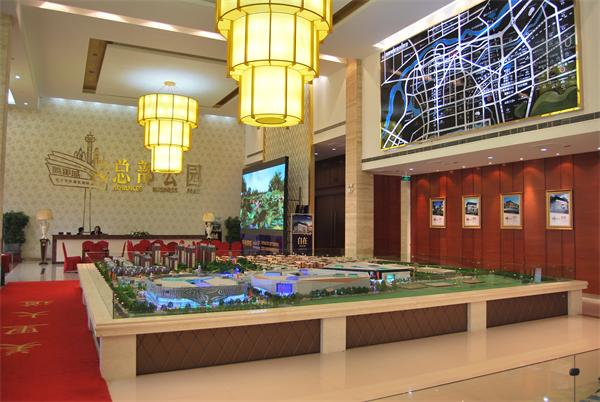
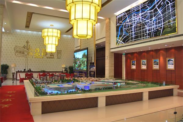
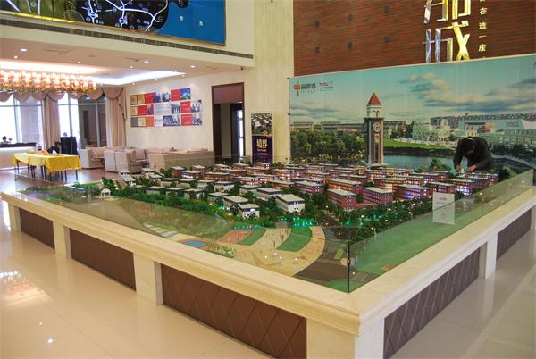
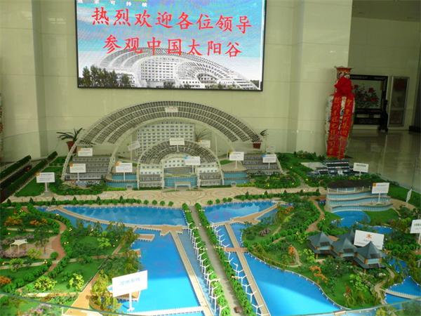
在沙盘模型制作的时候,要考虑到沙盘模型用材的特殊性、负载量和制作工艺等因素,所以在制作地形地貌的时候采用依照比例尺真实展示和不依照比例尺夸张或抽像表示的原则,处理各类地形地貌。下面济南模型公司就来和大家简单说说沙盘模型地貌要如何制作。
In the production of sand table model, we should consider the particularity of sand table model material, load and production technology, so we should use the principle of true display according to scale and not according to scale exaggeration or drawing representation to deal with all kinds of landform. Next, Jinan model company will tell you how to make sand table model landform.
首先说一说地貌,地貌模型一般采用的是梯田式,其特点是能较好地反映等高线的主体效果,精度高,总体效果独特、生动。目前,主要采用重量轻、易切割、易镶嵌、不易变形的高密度强力海绵材料制作山体,辅助材料有人工胶合板、泡沫板、硬纸板、石膏等。具体的制作方法如下。
First of all, the landform model is generally terraced, which can better reflect the main effect of contour lines, high precision, unique and vivid overall effect. At present, the high density and strong sponge material, which is light weight, easy to cut, easy to set and easy to deform, is used to make mountain. The auxiliary materials include artificial plywood, foam board, cardboard, gypsum and so on. The specific production method is as follows.
一、根据垂直比例尺大小确定等高距、材料的厚度,以及基础等高线。
1、 According to the size of the vertical scale, the contour lines of contour, material thickness and foundation are determined.
二、等高线的标描、复印与剪裁工作。用彩笔进行标描,对等高线进行综合取舍,在强力海绵材料上复印等高线时要按由低到高的顺序,并标明层数,然后逐层进行沿线切割。
2、 Plotting, copying and cutting of contour lines. Color pen is used to mark and draw contour lines comprehensively. When copying contour lines on strong sponge materials, the order from low to high should be marked, and the number of layers should be marked. Then cutting along the line should be done layer by layer.
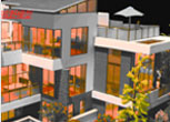

三、山体的粘钉工作。用乳胶漆将底层的“梯田”,准确粘贴于底盘上,然后逐层进行叠加粘接,层与层之间套合不好的地方要随时用剪刀或手术刀进行修整。对于河流、湖泊,当用有机玻璃作原料时,先把水蓝色的有机玻璃压在基准起算面底下,用乳胶等胶水粘牢,由此构成地貌雏形。
3、 Sticking nails on the mountain. The "terrace" of the bottom layer shall be accurately pasted on the chassis with emulsion paint, and then superimposed and bonded layer by layer. The places with poor fit between layers shall be trimmed with scissors or scalpel at any time. For rivers and lakes, when organic glass is used as raw material, the water blue plexiglass is first pressed under the reference starting surface, and then glued with latex and other glue to form the rudiment of landform.
四、堆积塑料填补工作。为将阶梯状的地貌简单形态变为自然的地表形态,需要制作填补料进行堆塑。填补料由石膏和榆树皮粉按照体积4∶1或重量2∶1比例组成。堆塑时,为使地貌符合实地情况,应当仔细研究资料查证,认真研究本地区的地貌特征,依图将台阶状的地貌填补成符合实际的自然地表,特别要将重要的地貌特征打造出来,并尽量一次堆塑填补好。确实需要进行二次填补时,必须等到一次堆塑的材料完全晾干后再进行。同时注意留出道路、河流位置,以便开挖。堆塑填补好后,应严格对照地形图等资料进行检查验收,做到正确无误,形象逼真。
4、 Pile up plastic filling work. In order to change the simple form of the stepped landform into the natural surface form, it is necessary to make filling materials for heap molding. The filling material is composed of gypsum and elm bark powder in the proportion of 4:1 in volume or 2:1 in weight. In order to make the landforms conform to the field conditions, we should carefully study the data verification, carefully study the geomorphic characteristics of the region, fill the terrace like landform into the actual natural surface according to the map, especially create the important geomorphic features, and try to fill in the plastic once. When it is really necessary to do secondary filling, it must wait until the materials of primary plastic stacking are completely dried. At the same time, pay attention to the location of roads and rivers for excavation. After filling, check and accept in strict accordance with the topographic map and other data, so as to ensure the correctness and lifelike image.
五、美化表面工作。模型晾干后,可依据图修挖水系等元素,然后进行地貌着色。颜料可用油画色或掺以适量胶水的广告色。着色样式,一般着自然色;高海拔或高差较大地区的沙盘地貌,可分层着色,按由低到高的顺序着以绿、黄、棕、和土红,每种色要由浅变深、逐渐变化。
5、 Beautify the surface work. After the model is dried, water system and other elements can be excavated according to the map, and then the landform can be colored. The pigment can be oil painting color or advertising color mixed with proper amount of glue. In general, natural colors are used in the coloring style; sand table landforms in high altitude or large elevation difference areas can be colored in layers, in the order of green, yellow, brown, and earth red, and each color should change from light to deep and gradually change.
以上是关于沙盘模型中地形地貌制作方法的介绍,希望对大家有所帮助,如想了解更多内容请点击:济南模型公司http://www.jnsymx.com。
The above is about the sand table model terrain production methods, I hope to help you, if you want to know more, please click: Jinan model company http://www.jnsymx.com 。


