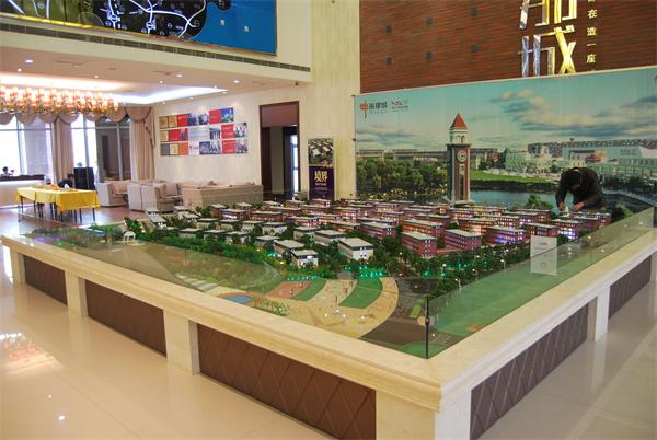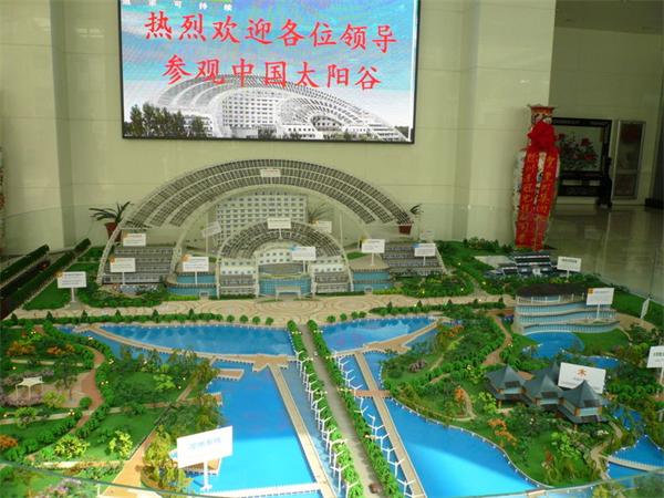
沙盘在以前主要用于战争。现今我们也常常在军事题材的影片中我看到指挥员们站在一个地形模型前研究作战方案。那么你知道沙盘是怎么制作的吗?今天给大家分享下沙盘模型制作方法。
Sand table used to be mainly used for war. Nowadays, we often see commanders standing in front of a terrain model to study the battle plan in military films. So do you know how the sand table is made? Today, I'd like to share with you how to make the sand table model.
工具/原料
Tools / raw materials
沙盘框,托凳,细沙,泥土,地模型,表示道路,江河的各色纸(布)条,渲染地貌色调的锯末,颜料,表示战斗行动的兵棋,队标和队号,说明居民地,高地和江河名称用的纸牌,以及竹签(木签),线绳,图钉,米尺,毛笔,铁锹等工具。
Sandbox, stool, fine sand, earth, ground model, representing roads, river colored paper (cloth) strips, rendering sawdust, color, battle action, team and team numbers, indicating residential areas, highlands and river names, and bamboo sticks (wooden sticks), rope, pin, meter, brush, shovel and other tools.
方法/步骤
Method / step
1、设置沙盘
1. Setting up a sand table
先将沙盘框放置稳妥,尽量使沙盘的方位和现地一致,再铺上3-5厘米厚,湿度适当的沙土,并用木板刮平压紧,作为min等高线的平面,然后打上和地形图相应的方格,在沙盘框周围注记相应的编号。
Firstly, the sand table frame shall be placed stably to make the direction of the sand table consistent with that of the site as far as possible, and then 3-5cm thick sand soil with appropriate humidity shall be paved, and the wood plate shall be used for scraping and pressing, as the plane of Min contour line, and then the corresponding grid with the topographic map shall be marked, and the corresponding serial number shall be noted around the sand table frame.
2、堆积地貌
2. Cumulate landform
(1)依照方格将地形图上已选定的min等高线,能控制地貌基本形状的等高线,以及山顶,鞍部,山脚,倾斜变换点和江河等到的位置画到沙盘面上。
(1) According to the grid, draw the selected min contour on the topographic map, the contour that can control the basic shape of the landform, as well as the positions of the top of the mountain, saddle, foot of the mountain, change point of inclination and rivers to the sand table surface.
(2)将计算好的山顶,鞍部,山脚,倾斜变换点和江河弯曲部等起伏明显和点,分别插上竹签.竹签的高度,为该点在沙盘上的高度加上底层沙土的厚度。
(2) Insert bamboo sticks into the calculated peaks, saddles, foothills, inclined transformation points, river bends and other obvious undulations and points, respectively. The height of bamboo sticks is the height of the point on the sand table plus the thickness of the underlying sand.
(3)在min等到高线范围内,以竹签和等高线为依据,先堆出山顶,鞍部,山背等的概略形状作为骨干,再修整其他部分.如沙盘较大,可分片堆积,先堆积进出困难处,后堆积进出方便处.堆积时,应随时对照地形图,以正确显示地貌的起伏状况,并应随时将沙土压紧,以免崩塌变形.如有较大的江河,湖泊,应在修整地貌时一并挖成.堆积完毕,应作多维度检查和修整,并从高到低逐层撒上与地面颜色相符的锯末(或喷以颜色)。
(3) Within the range of min to the contour line, based on bamboo sticks and contour lines, pile out the outline shape of the mountain top, saddle and back as the backbone, and then trim other parts. For example, if the sand table is large, it can be stacked in pieces, first in and out of the difficult places, and then in and out of the convenient places. When stacking, it is necessary to check the topographic map at any time to correctly display the undulation of the landform, and compact the sand and soil at any time In order to avoid collapse and deformation, if there are large rivers and lakes, they shall be excavated together when trimming the landform. After stacking, they shall be comprehensively inspected and trimmed, and sawdust (or spray with color) matching with the ground color shall be sprinkled layer by layer from high to low.
3、设置地物
3. Set up figures
沙盘上的地物,如房屋,铁路,桥梁,树木和独立地物等,多用相似的模型表示,公路和乡村路用宽窄不等,颜色不同的纸(布条)表示;江河用蓝色纸条或锯末表示;树林用小树枝或绿色锯末表示.地物的大小,应与水平比例尺相适应,关系位置要求正确.设置地物,应按水系,居民地,道路,树林和独立地物的顺序进行设置,在相应的位置上插上地名,江河名,山名和高程注记等纸牌。
The features on the sand table, such as houses, railways, bridges, trees and independent features, are mostly represented by similar models. Roads and rural roads are represented by paper (cloth) of different widths and colors; rivers are represented by blue paper or sawdust; The forest is represented by twigs or green sawdust. The size of the features shall be suitable for the horizontal scale, and the relationship position shall be correct. The features shall be set according to the sequence of water system, residential area, road, forest and independent features, and the corresponding positions shall be inserted with cards such as place name, river name, mountain name and elevation annotation.
4、设置战术情况
4. Set tactical situation
战术情况,通常根据预定的作战方案或训练想定,用制式的兵棋,临时制作的队标,队号等进行设置.设置时,先设战斗分界线,而后按先敌后我,由前沿到纵深的顺序进行.如需显示敌,我设防工程时,应先设置工作设施,后设置战术情况。
The tactical situation is usually determined according to the predetermined battle plan or training scenario, using the standard war chess, temporarily made team mark, team number, etc. when setting, the battle boundary is set first, and then it is carried out in the order of first enemy and then me, from the front to the depth. If it is necessary to display the enemy, when setting up the defense project, we should first set up the working facilities, and then set up the tactical situation.
5、整饰
5. Finishing
上述各项工作完成后,应详细对照检查,并标明沙盘的名称,指北箭头和比例尺,需要时用线绳拉上坐标网。
After the above work is completed, it shall be checked in detail, and the name of sand table shall be indicated, the north arrow and scale shall be pointed out, and the coordinate network shall be pulled up with wire rope when necessary.